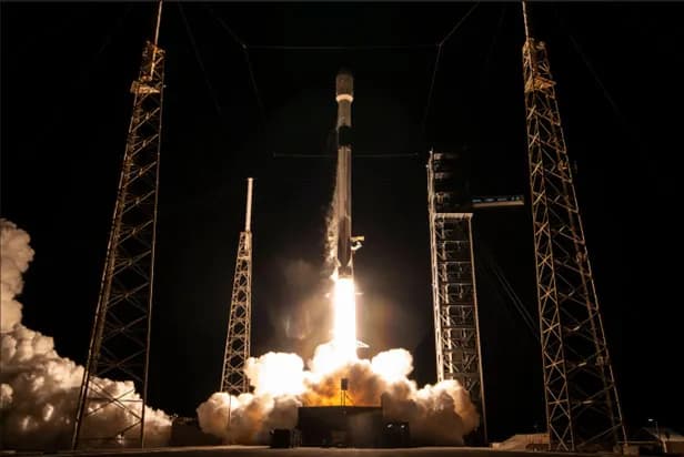
S. Space Force's Block III Global Positioning System satellites, which launched on Jan. 27.
LRAs are sets of mirrors shaped like the corners of a cube, a configuration designed to precisely reflect beams of light back to their source. They are a key component to laser ranging, a technique that enables the measurement of precise distance by observing the time it takes for a pulse of light to travel from a ground station to the mirrors and back. With the LRA being put to work, this GPS satellite will have an improved tie to the global coordinate system, resulting in more accurate location and navigation information for users.
LRAs are the most efficient and cost-effective way to improve products that come out of GPS.
Using GPS data also supports other Earth-observing satellites and the data they collect. Satellites orbiting the planet have GPS receivers to help pinpoint their exact location in space. The more precise the GPS orbit information, the more accurate and reliable the rest of the satellite's data becomes.
NASA's Space Geodesy Project operates a global network of Satellite Laser Ranging stations dedicated to continuous satellite tracking. Local stations are currently monitoring the latest GPS III satellite, with international stations set to follow soon. ' Stephen Merkowitz, project manager for the Space Geodesy Project at NASA's Goddard Space Flight Center in Greenbelt, Maryland, added, 'We are the hidden infrastructure.
We are the hidden infrastructure. Most people don’t realize that they're relying on these kinds of measurements every day throughout their lives.
' The specific improvement in GPS accuracy, such as in meters or percentage, has not been disclosed. Additionally, it is unknown how many GPS satellites currently have LRAs installed and what the timeline is for equipping the entire GPS constellation.